Showing posts with label view. Show all posts

Sunday, 27 July 2014

A day out in Kyneton (my rating B)

Kyneton is a town in Central Victoria, about 1.5hrs drive from Melbourne.  It is a nice town to explore and stroll on a sunny day with your kids and furry little one.

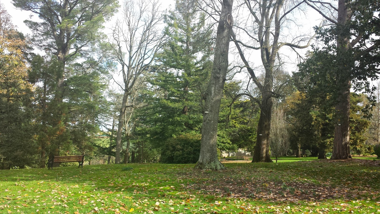
Our day tour starts at Kyneton Botanic Gardens (we park the car on Clowes St), we have a picnic lunch at the park. And afterwards, a short stroll in the gardens.  It is very pleasant and peaceful.  Dogs are welcome on-lead in the gardens.  There are toilets, tables and benches available in the park.

The Botanic Garden is next to Campaspe River, a riverside walk shall be relaxing.  There are 2 swings in the Gardens, FYI.


Turpins Falls and Trentham Falls are 2 of several waterfalls near Kyneton.  Each waterfall is about 30mins drive from Kyneton, but opposite directions.  Both Falls are OK with dogs.


Staff@Kyneton Visitor Centre suggests me to put "155 Shillidays Rd, Langley VIC 3444" onto my GPS for the direction to Turpins Falls, there is a sign on Shillidays Rd pointing to Turpins Falls, so you won't miss the  turn.

There is no amenities at Turpins Falls, however, there's a path to the river level, I'd suggest you to bring a hiking stick with you as the path to river level is quite steep and slippery when wet.


Trentham Falls@Trentham Falls Scenic Reserve is off Trentham Falls Road, there's a sign pointing to the Falls so you won't miss the turn.  There is a picnic ground at the Reserve, with tables, benches and toilet facilities.  It's a 70m short walk on a well defined path to the viewing platform. 
**** Extracted from Trentham Falls flyer *****
Trentham Falls Scenic Reserve offers you the best access to one of Victoria's highest single drop waterfalls.  Here the Coliban River plunges 32 meters over a sheer face of basalt rock.

No wonder you can hear the waterfall thunder from the carpark, and the view is spectacular.

You may also like to take the chance for a short walk in the reserve.  The walking map is available at the carpark.


There are other Points of Interests nearby, like Black Hill, Mineral Springs, and other waterfalls......... :)
We shall come back and explore more, for sure......


p.s.: It may be tricky to find a restaurant / cafe in a Sunday afternoon in a country town, thus we usually bring our own picnic lunch.

Sunday, 10 November 2013

Zeally Bay@Torquay (My rating B)

On a warm Saturday (28'C), we went to Zeally Bay at Torquay to 'chill out'.

Why Zeally Bay?  Partially because it's offleash till Dec 1, partially because there're toilet facilities near the beach, partially because beaches on Great Ocean Road are my favourites, partially because Torquay is my favourite town along Great Ocean Road, partially because..................

Why is Zeally Bay rated B only?  All because the offleash period is from May to Nov.  Where do I go when Summer Heat comes?  The Beach Winner goes..... on great ocean road, a bit further down the Anglesea, with toilet facilities, will announce the name when summer heat comes. :-)

(Look Right)

(and Look Left)

(Here's Zeally Bay, ample car park, from Council Website)

(This is what PURPLE means, from Council Website)

Sunday, 13 October 2013

Mt Beckworth Scenic Reserve@Clune (my rating A)

Mt Beckworth is located 35km north west Ballarat.  It's about 2.15hrs drive from Melbourne City via M80.

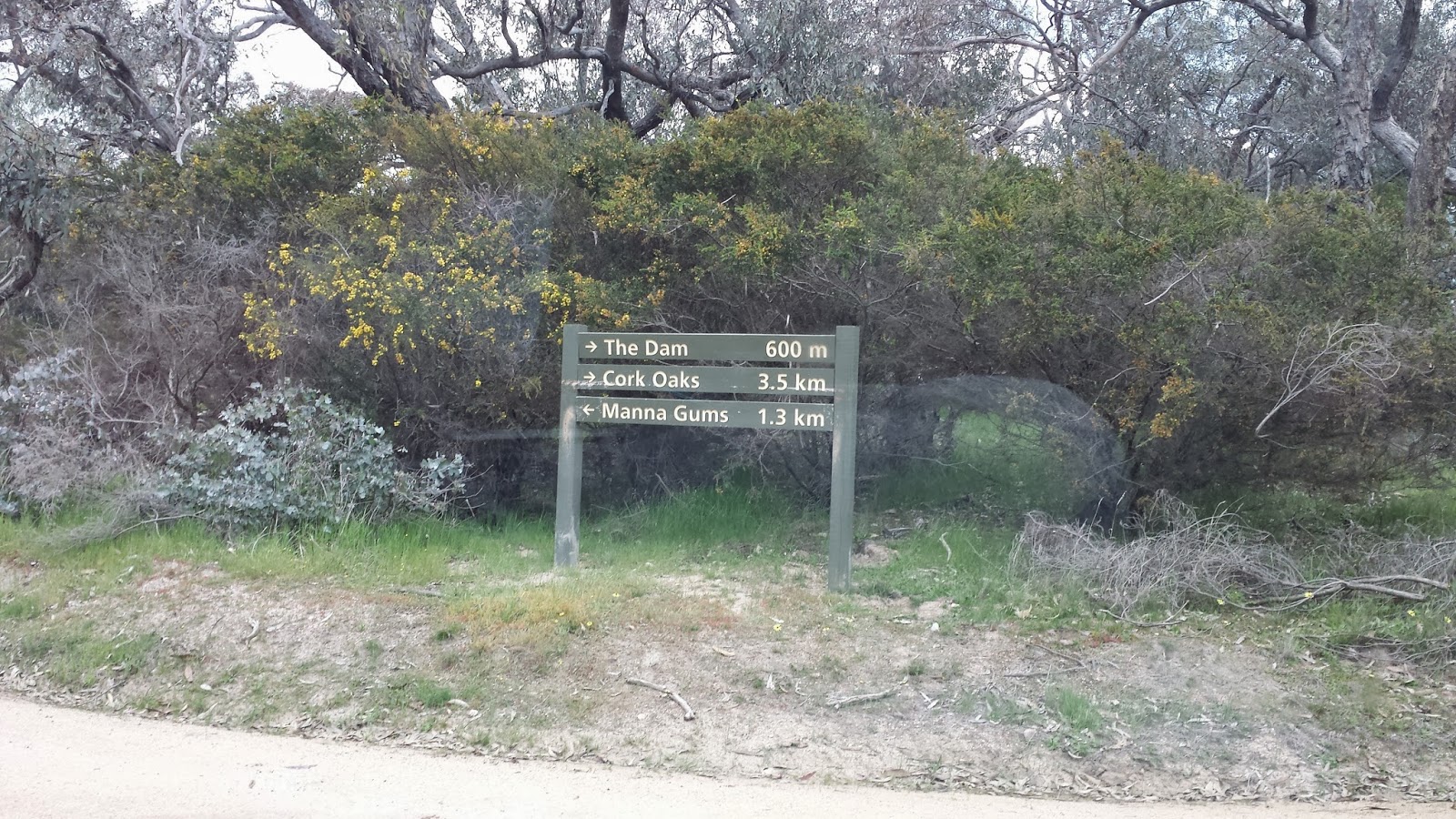
We spent some time searching for the entry.  I initially set the GPS to go from Pickfords Rd to Cork Oaks Camp Site, but for some reason, the GPS couldn't find the way.  We had to re-set the destination to the other entry (the one at the end of Mountain Creek Rd), and then followed the road within the Reserve to Cork Oaks.


(This is the Sign of "Mt Beckworth Scenic Reserve" at the Entry)

(The sign at the Entry)


There're a few signs in the park showing the way, but not sufficient in my opinion, especially when the road splits, there's no sign to tell you which way to go.  Thanks for my GPS, I had a reference (yup, to turn on to the road that looks closer to the destination).

But once we arrived, it made all the effort worth.  The Cork Oaks is a nice camp site, with toilet facilities.

After a well-prepared hotdog lunch, we set the hiking to "Mt Bechworth" summit.

As said before, there was no enough signs, we followed the sign of "Mt Bechworth" at the beginning, soon we found us climbing up the mountain following sort of walking trail.  It was literally and actually climbing, the path is really steep, and not well formed (so different from You Yangs and 1000 Steps).  Mum and Jessica climbed 2/3, then decided to go no further. 

It took us 45 mins to reach the summit, this is one of the reasons I believe we didn't follow the track (it says on the sign about 3hr return if stays on the walking track).

However, I must emphasize I made no complain at all.  The view is breathtaking, the climbing was fun! It made the hiking more adventurous, the only regret was Mum and Jessica couldn't make to the summit and enjoy the view.

My suggestion to you, if you plan to visit this reserve, please do have a hard copy of the Park Notes, and I'm sure you would thank your proper hiking boots after climbing the mountain, they would protect your ankles and also provide good grip.


(Sign at the Cork Oaks)

(This section of the climbing is easy compared to the summit part)

(View at 1/3 from the summit)


(path at the start, much steeper than what looks in this photo)

(This is the path heading summit)


(map from Park Vic website)


Saturday, 28 September 2013

RJ Hamer Arboretum@Olinda (my rating A)

RJ Hamer Arboretum is surrounded by Dandenong Ranges National Park, a wonderful place to visit.  It's just about 1 hr drive from Melbourne city.

We loved the magnificent view, the vast green and massive beautiful trees.  The kids loved to run up and down the hills.  There are 2 BBQ stoves, sheds and toilet facilities.  The toilets are reasonably clean.

Please note there's not bin at the park.  You'll need to 'Take your Rubbish Home'.  We did take our rubbish HOME, and into our own Rubbish Bin. :-)

We did a bush-walk after picnic lunch.  It took us some moments to confirm that the first part of the track is to cross the grassy plain.  See the map below, the walk we did is traced over in blue, it took us 2 hrs return.  Some part of the track is quite steep, and because it was wet, the path was quite slippery.  There is no bench along the path, but we managed to find a few tree logs / stumps for Mum to rest.
(Map downloaded from Park Victoria website)


The only problem I found was to find the path and direction.  I hope Park Victoria can make the signs clearer and better.  To me, there wasn't enough track signs.

And because of this, I would highly suggest you to have your map ready (I had a softcopy map i.e. PDF file stored on my Smart Phone, downloaded from Park Victoria Website), the track guide map at the Information Display Board is barely informative.  And you'll find wearing hiking boots help a lot.

(How would you like it to have picnic lunch facing such magnificent view?)


(This is where we started our walk)

(After 50-100m, the path is more visible)


(At the edge of of the grassy plain, there's a sign on the left). 
(The stony road is Mathias Road)


(Follow Mathias Road, past "Red Dog Hut" on the left, you'll see this sign)
(We turned left onto Sequoia Track)

(Follow Sequoia Track to the end, you'll see the T section, and the Sign)


(This kookaburra accompanied us till Red Dog Hut)
(It was low-flying ahead of us, then stopped and waited, and flew again)


Sunday, 1 September 2013

Mount Tarrangower@Maldon (My rating C)

Maldon is a town in Mount Alexander  Shire Council, near Castlemaine.  It's about 2hr drive from Melbourne City.

Mt Tarrangower is within Maldon Historic Area Reserve, managed by Park Victoria.

I was hoping to hike from Maldon Town to Anzac Hill to Mount Tarrangower Lookout, but it was 1pm by the time we arrived at the Visitor Centre@Maldon, and got map of  Maldon Historic Area Reserve.

After a light lunch, it was too late to hike.  So, activated plan B, which was to drive to Mount Tarrangower Lookout, and drive to Anzac Hill (it's 4WD track between Mout Tarrangower Lookout and Anzac Hill).

Driving along the High Street, you'll see the Brown Tourist Sign "Mount Tarrangower" on your left.  Turn Left and keep going straight, you'll come to Mount Tarrangower Lookout, the road is all sealed, by the way.

(Lookout Tower at Mt Tarrangower, you can climb)

(View from Lookout Tower)

(View from Lookout Tower) 

We followed the "Fountain Track" to go to the Anzac Hill.  The track shown on the map above is "Adair Track", another 4x4 track.  To go to Fountain Track, keep driving straight from the way you come from (you'll have Adair Track on your left, and the Lookout Tower on your right), you'll then see the track (it's well labled)

(Anzac Hill)

(Map downloaded from Park Victoria)


The view was nice, but didn't make me say "wah!!!!!!!".  And I was glad I didn't do the hiking, as by judging the track, it would be a bit boring on foot.  Driving to Anzac Hill was good though.


When we were there (on the Father's Day), Maldon was quiet and peaceful.  the staff at Visitor Centre were very helpful and friendly.

We went to the playground behind the Visitor Centre after Anzac Hill.  The kids enjoyed the play there.

On the way back to Melbourne, we stopped by at the Western Reserve@Castlemaine, there's a skate park there, and the reserve is offleash.

 The visitor centre: 93 High Street Maldon


Sunday, 25 August 2013

Mt Tassie@Balook (my rating C)

Mt Tassie is about 2.5hrs drive from Melbourne,  is located about 17km south of Traralgon via the Traralgon-Balook Road or about 3km north of Balook and the Grand Ridge Rd.

Mt Tassie, at 750m,  is the highest point in the Strzelecki Ranges.

We left home about 10.30am, arrived Traralgon at lunch time.  We had our picnic lunch at Newman Park (Oh yes, we re-visited the park today, the kids just love this playground.  Though it was Sunday and the car park was over-full, it didn't feel crowded. The only queue when we were there was for the mini-steam engine.)

We set our journey at 2.30pm, went onto Grand Ridge Rd via Gormandale,   the drive was really pleasant.

It was 3.30pm when we arrived at the guest house at Balook, and had the scones there.  Ummmm, yummy scones, especially the cream & jam!!!!!!!!!!!!!!!!!!!!!  We sat the outdoor dining area, overlooking the forest, everything was just peaceful and relaxing, it felt like the time had stopped, and all I wanted to do was just sitting there, sipping my coffee and listening to the sound of the nature.

Anyway, the kids were too busy to enjoy the 'timeless' moments.  Back to the road at 4.30pm, heading towards Mt Tassie.

It was a bit of guessing game to locate the Mt Tassie lookout.  We had a few wrong attemps and made us "no, guess not this way, let's U turn".

Eventually, we got it right, and here we were, on the summit of Mt Tassie.

So, if you go to Mt Tassie from Traralgon, via Traralgon-Ballok Road,  you'll see the sign "Mt Tassie" on your left,  (You won't see any sign pointing to "Mt Tassie" if you head from Balook, unless you do your head check).


(The sign "Mt Tassie", you only see the sign if you head from Traralgon)


follow the left path up the hill, and then you'll see the path split, follow the left path, you'll then see the lookout!


 (You'll then see the road split, stay on the left path, the right path leads to a dead end)


(Congrats, here you are, at the lookout) 


The path that leads to the lookout is a bit exciting!  Thank to Lucien, my 4x4, we moved on without hesitation. :-D


Sunday, 11 August 2013

George Bass Coastal Walk: Punchbowl Rd to Half Moon Bay (My rating A)

Just like what the Park Notes says, the George Bass Coastal Walk offers the panoramic coastal views.  The winding path up and down makes the walk more rewarding.

Punchbowl Rd is a narrow gravel road crossing the busy Philip Island Road.  It's on your left if you go towards the Philip Island.  Just slow down when you're nearly there, you don't want to miss the turn.  The car park is at the end of Punchbowl Rd.

Suggest you to bring a walking stick if you have an unstable knee, coz you'll need to climb up and down the hill.

It took us 2.5 hrs return from Punchbowl Road - Half Moon Bay - Punchbowl Road.


(Map at the Entry)


(Winding Path)

(Half Moon Bay)


(Overlooking Half Moon Bay)

(lookout near the entry)